Bondhusvatnet Hike: Easy & Accessible Walk in Hardanger, Norway

Table of Contents
    Add a header to begin generating the table of contents

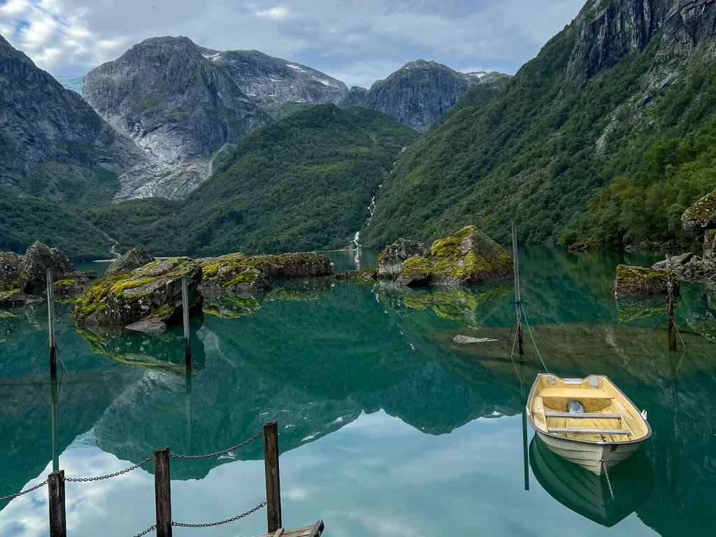
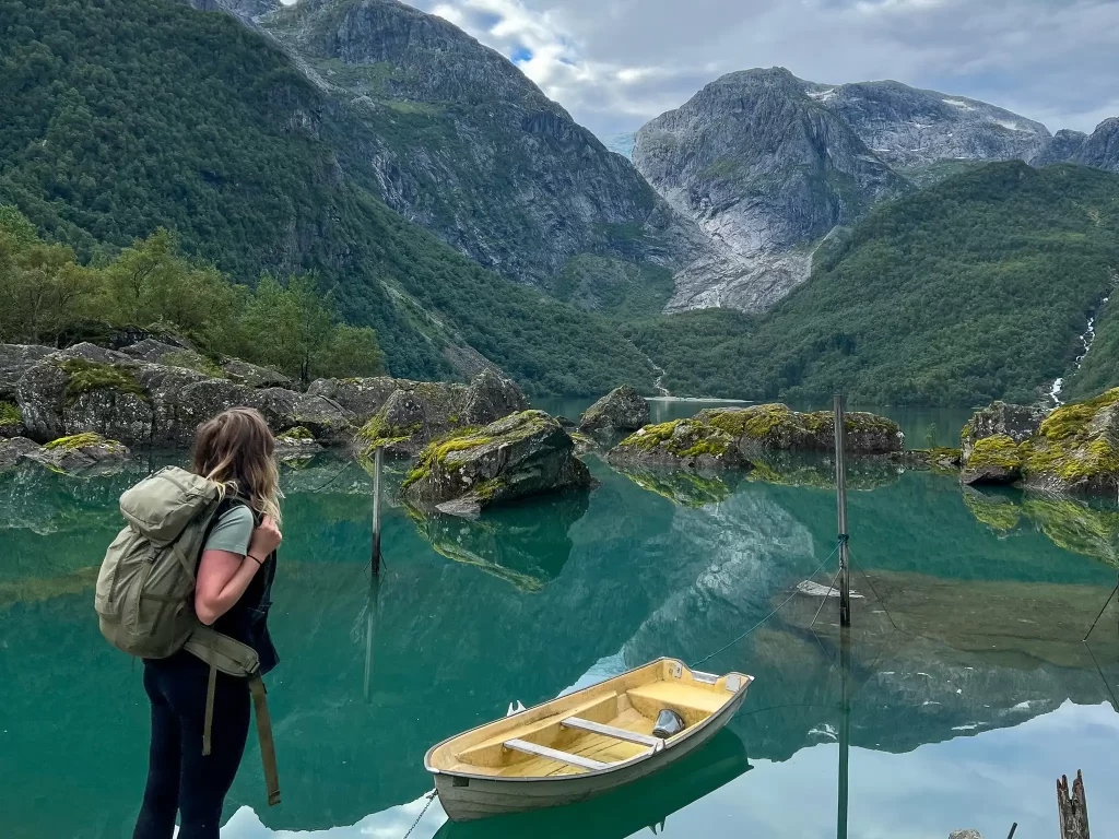
    Bondhusvatnet is probably one of the most photographed lakes in Western Norway. Like many other places, it became especially popular on Instagram when travel bloggers started coming here for the iconic shot of turquoise water and the little boat. So no, it is definitely not a “hidden gem” or a “secret spot”, but I still think it deserves a place on this website. The reason is simple: it is incredibly accessible.

    Everything to Know About the Bondhusvatnet Hike in Norway

    Bondhusvatnet Hike is one of the most accessible hikes in Hardanger, which makes it a great option for a bad-weather day, an easy outing with children or older family members, or simply a rest day after Trolltunga or one of the other more demanding hikes in the area. The trail is very straightforward: you follow a wide gravel road until you reach Bondhusvatnet lake at the end of the valley. There is no technical terrain, and the route can be done with a stroller and, with some limitations, even by wheelchair users.

    Bondhusvatnet: Quick Facts

    Country: Norway
    Location: Kvinnherad, Western Norway
    Season: May – October 
    Type: Out-and-back hike
    Difficulty: Green (easy)
    Time: 1.5–2 hours
    Distance: 4.6 km / 2.9 mi (round trip)
    Total Ascent: 135 m / 443 ft

    Bondhusvatnet Hike Location

    Bondhusvatnet Hike is located in Bondhusdalen near the village of Sundal in Western Norway. It sits on the western side of the Folgefonna glacier and works particularly well as a stop on a road trip through Hardanger, or as part of an itinerary based around Bergen, which is around 3 hours away by car.

    Tip: Unlike many hikes in Western Norway, Bondhusvatnet hike does not need to take over your entire day. The walk itself is short enough to combine with another stop in Hardanger.

    Bondhusvatnet hike in Hardanger, Norway, with turquoise lake, steep mountains and Bondhusbreen glacier
    Bondhusvatnet is tucked away in Bondhusdalen, just above the tiny village of Sundal in Hardanger.

    Bondhusvatnet Hike Map & Elevation Profile

    The classic route from Bondhusdalen parking to Bondhusvatnet lake is approximately 4.6 km  (2.9 mi) in total. Despite the dramatic surroundings, there is only around 135 m (443 ft) of elevation gain between the parking area and the lake.

    Difficulty of the Bondhusvatnet Hike

    The Bondhusvatnet hike is rated as a green (easy) hike/walk by DNT (the Norwegian Trekking Association), and I can confirm that the rating is accurate. There are no exposed sections, technical climbs or difficult mountain terrain on the main route. 

    You simply follow a wide gravel road gradually uphill through Bondhusdalen until you reach the lake, with views of the surrounding mountains and glacier. This makes Bondhusvatnet a particularly good option for families, people who are not regular hikers, and travellers who want to experience Norwegian nature without committing to a long or demanding mountain day.

    Tip: If you want to make the hike longer, you can continue along the western side of Bondhusvatnet lake towards Nedstasætret at the far end of the lake. The trail becomes rougher here, so don’t expect the same easy gravel road. If you’re looking for a proper mountain day instead, you can take the black-graded hike to Fonnabu, which branches off from the main trail before you reach Bondhusvatnet.

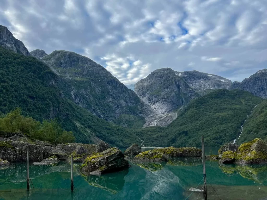
    Bondhusvatnet lake surrounded by steep mountains in Hardanger, Norway
    Bondhusvatnet can also be just the starting point — if you want something more demanding, several tougher hikes continue deeper into the mountains from here.

    Best Time of Year to Visit Bondhusvatnet

    You will find Bondhusvatnet listed as a year-round walk on some Norwegian hiking websites, but for most international visitors I would recommend May to October, when the gravel road is most likely to be free of snow and ice. 

    July and August bring the warmest weather, but also the highest number of visitors. 

    Spring and autumn can be lovely and considerably quieter, but remember that this is Western Norway. Heavy rain, cold temperatures and slippery sections are possible even when the hike itself is easy. 

    In winter, snow and ice can completely change the accessibility of the road, particularly if you are visiting with a stroller or wheelchair.

    Tip: As I mentioned already, this hike is definitely not a hidden gem. If, like me, you prefer a quieter experience, I would recommend visiting early in the morning or later in the afternoon or evening, especially during the peak summer months.

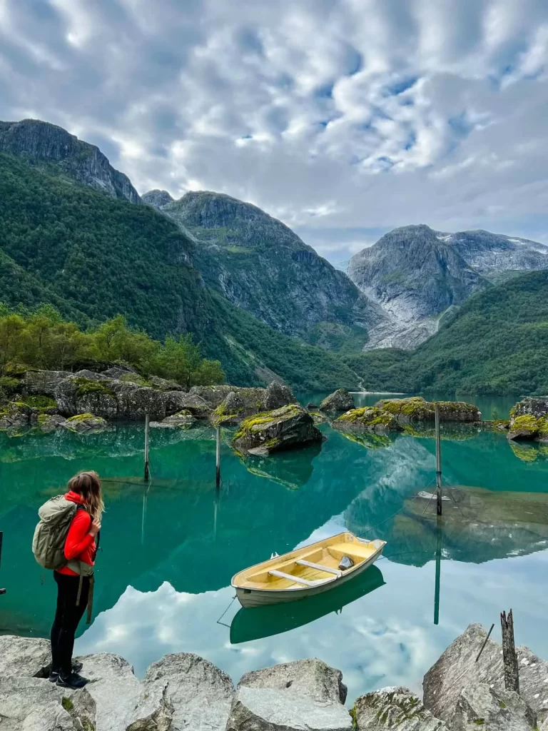
    Hiker overlooking the boat and turquoise water at Bondhusvatnet lake
    I visited Bondhusvatnet at the end of August, early in the morning.
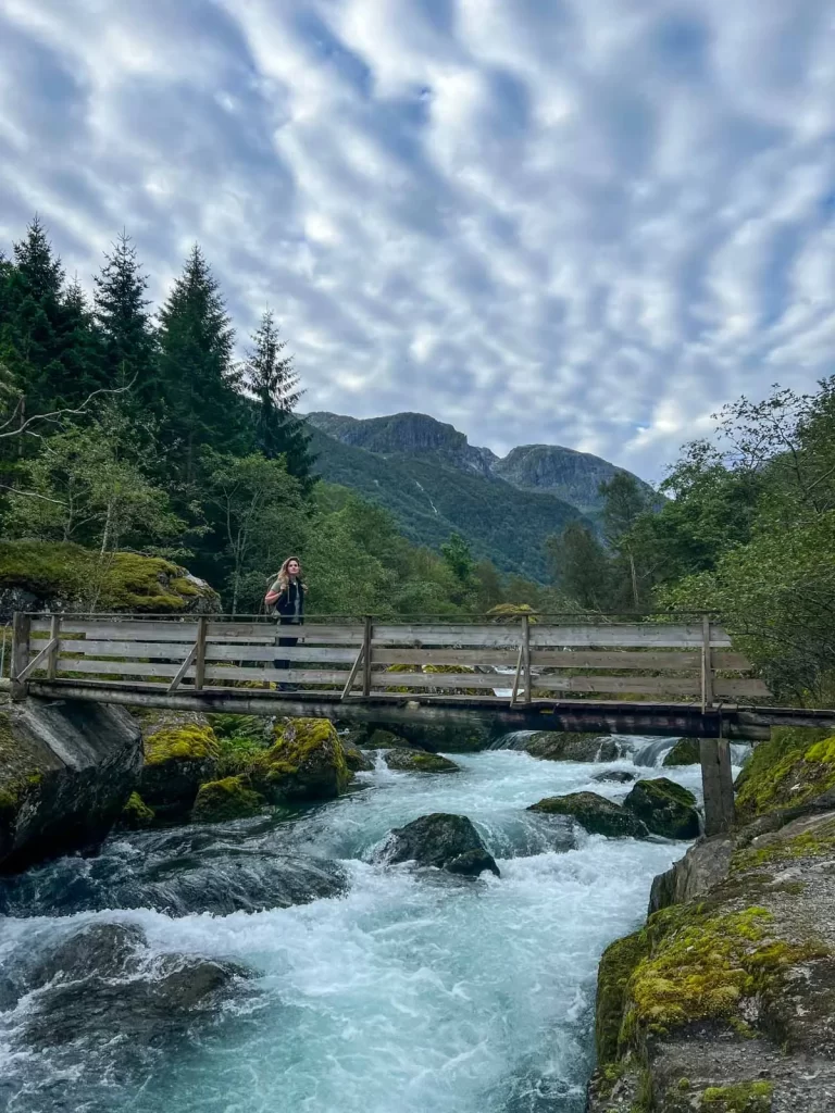
    Wooden bridge over Bondhuselva river on the Bondhusvatnet trail
    We barely met anyone on the trail, which made the early start completely worth it.

    Before You Set Off: Glacier and Terrain Hazards in Bondhusdalen

    The main trail to Bondhusvatnet lake is easy, but the landscape farther into the valley is much more serious. Bondhusbreen glacier sits at the end of a steep glacial valley, which can act as a terrain trap: if ice, rock or large amounts of water suddenly move down from the glacier, there are limited places to escape.

    This became particularly relevant in June 2026, when a glacial lake formed above Bondhusdalen and authorities temporarily closed the area between Bondhusvatnet and Bondhusbreen because of the risk of a sudden flood. The restriction was lifted in July 2026, but the area continues to be monitored.

    If you plan to continue beyond Bondhusvatnet, check the latest updates on the official Kvinnherad Municipality website before you go and always follow local signs, barriers and restrictions.

    How to Get to the Bondhusvatnet Trailhead

    Access by Car and Public Transport

    The easiest way to reach Bondhusvatnet is by car. Drive to Sundal in Mauranger and turn off the main road, following signs for Bondhusbrea/Bondhusdalen. From the junction, the road becomes fairly narrow, so drive slowly and remember that you are passing through a small rural community rather than a purpose-built tourist resort.

    Bondhusvatnet is also one of the easier hikes in Hardanger to reach without your own car. Buses connect Sundal with other destinations in Hardanger and Sunnhordland, and from the bus stop, it is only a short additional walk to the trailhead. In summer 2026, the easiest connection was bus 760 from Odda or Rosendal to Leite, which takes around 40 minutes. Check Entur for current routes and timetables, as services vary by season and day of the week.

    Parking at Bondhusdalen

    The official Bondhusdalen parking area (60.110427, 6.269978) is located at the entrance to the valley. As of 2026, parking for a passenger car costs 125 NOK per calendar day, and you can pay by card at the parking machine.

    Many visitors complain that the parking price feels quite high for a hike that takes only around two hours. It helps to remember, though, that while access to Norwegian nature is free, busy places like Bondhusvatnet still require infrastructure and maintenance. On the busiest days, up to 600 cars drive through the narrow local road, creating extra pressure on the village, farms and parking area. The parking fee therefore helps cover more than just the parking space itself, including toilets, traffic management, safety measures and general visitor infrastructure. 

    For the same reason, please do not park randomly along the local road or block access for residents and farmers.

    Tip: Planning a hiking trip in Norway can get complicated fast, especially when you start combining fjords, mountain roads, ferries, weather and trail conditions. If you want help turning your ideas into a realistic route, I offer 1:1 consultations for Norway outdoor trips.

    Hiker overlooking turquoise Bondhusvatnet lake and the surrounding mountains
    The parking may feel a bit expensive, but the views still make it worth it.

    Facilities Along the Bondhusvatnet Trail

    Food and Supplies

    There are no shops in Sundal, so bring anything you want to eat and drink with you. The nearest grocery stores are in Jondal, Rosendal or Odda. If you’re lucky and visiting during the main season, you might be able to get lunch or dinner at a local hotel or guesthouse, but I wouldn’t rely on it.

    Water

    Bondhusvatnet is a drinking-water source for the local communities of Bondhus and Sundal, so protecting the water from contamination is especially important. Bring your own drinking water and avoid refilling bottles directly from the lake or nearby streams.

    Toilets

    There are flush toilets at the Bondhusdalen parking area. There are no toilets farther up the valley. If nature calls, please pack out any toilet paper instead of leaving it behind.

    Waste

    There are no rubbish bins along the trail or at Bondhusvatnet, so carry everything back with you and use the bins at the parking area. This includes food waste, tissues and anything else you bring with you.

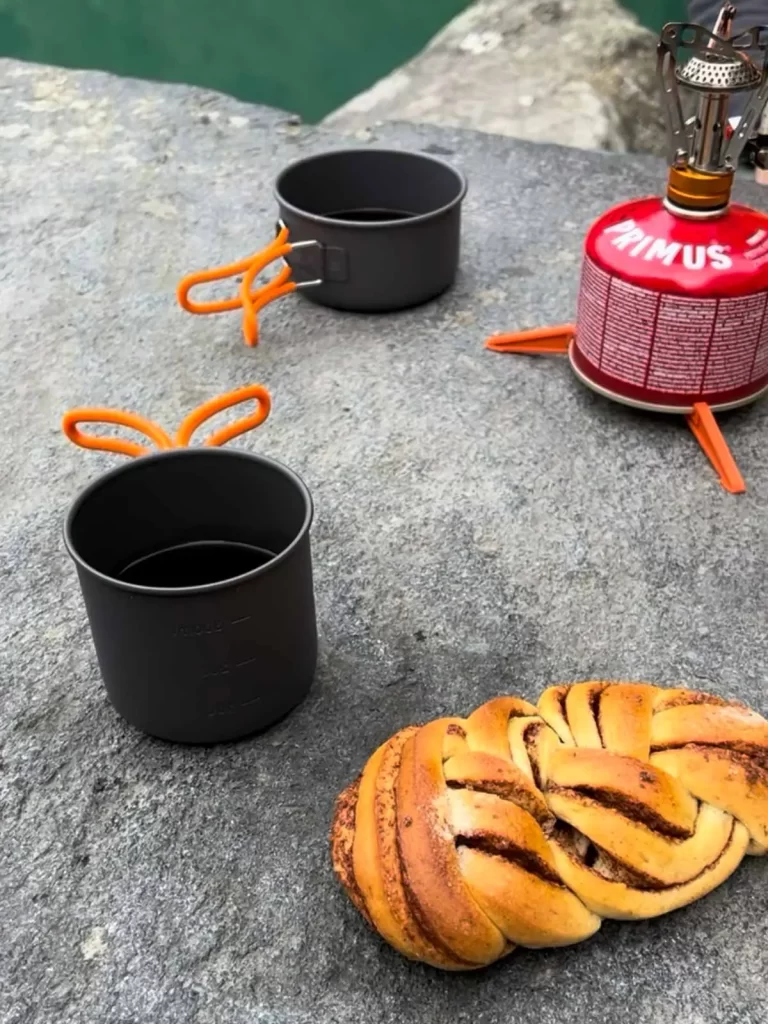
    Coffee and cinnamon bun break during the Bondhusvatnet hike
    There are a few outdoor tables and chairs by the lake, which make a perfect little picnic spot.
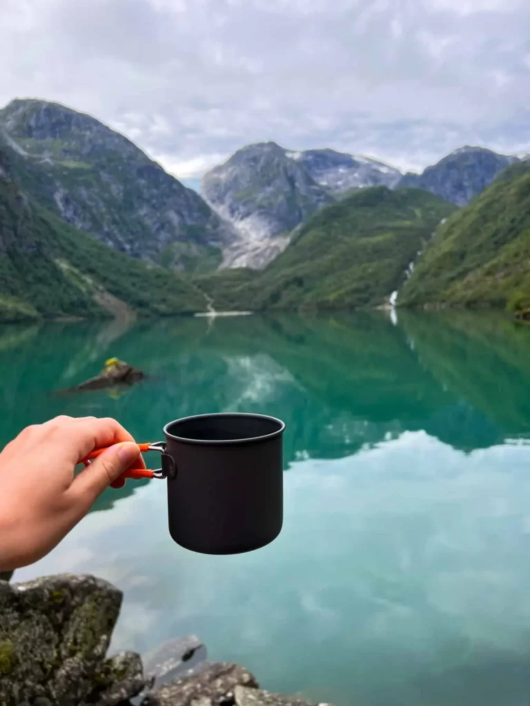
    Cup of coffee overlooking Bondhusvatnet lake and surrounding mountains
    We brought breakfast with us and ate it right by Bondhusvatnet before heading back.

    Local Restrictions Around Bondhusvatnet

    Swimming

    Swimming in Bondhusvatnet lake is not allowed. The lake is used as a drinking-water source for Bondhus and Sundal, so resist the turquoise water, no matter how inviting it looks on a warm summer day.

    Camping

    Camping is not allowed within 50 metres of Bondhusvatnet lake for the same reason. Even farther away, choose your camping spot carefully. The surrounding valley has steep slopes and potential rockfall zones, so flat ground does not automatically mean safe ground. For most visitors, I would simply treat Bondhusvatnet as a day-trip destination rather than somewhere to camp.

    Bondhusvatnet Trail Description

    The Bondhusvatnet walk starts directly from the parking area and follows a wide gravel road known as Isvegen through Bondhusdalen. The road climbs gently alongside Bondhuselva river, passing a few gates and grazing areas, before reaching the northern shore of Bondhusvatnet lake. This is the classic viewpoint, with the lake framed by steep mountains and Bondhusbreen in the distance.

    Tip: Even though the trail is easy to follow, it’s smart to download an offline map (UT.no, Norgeskart or Mapy.com) to your phone before you go.

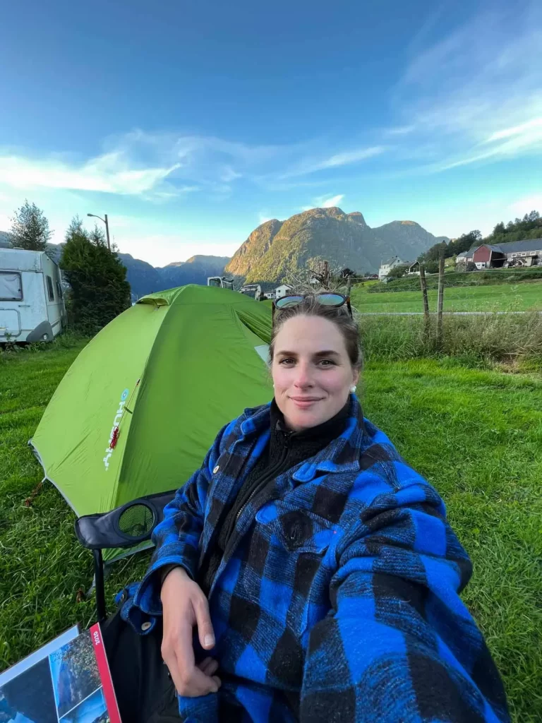
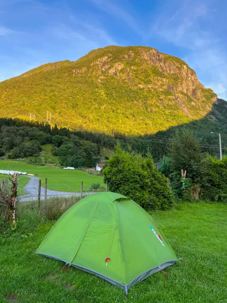
    Camping in Sundal near the Bondhusvatnet trail in Hardanger
    Sundal itself is tiny, with just a campsite and a handful of places to stay.
    Tent pitched in Sundal beneath the mountains of Hardanger
    There are no shops or proper facilities nearby, so bring what you need with you.

    Where to Stay Near Bondhusvatnet

    Note: Some of the links below may be affiliate links, which means I may earn a small commission if you book through them. It does not cost you anything extra.

    Bondhusvatnet works best as part of a longer Hardanger itinerary rather than a destination you need several days for on its own. If you’re staying in the region for a few days and also planning other hikes such as Trolltunga or Oksen, I would personally stay in one place for several nights rather than changing accommodation every day. 

    Sundal is the closest place to stay if you want to be right by the trailhead, while Odda is the biggest and most practical hub in the area, with the widest choice of accommodation, restaurants and shops. That said, I personally also like Rosendal and Jondal, which are smaller, quieter and feel a bit less busy.

    For backpackers

    If you just need a simple place to pitch your tent and shower after the hike, Sundal Camping is the closest option and my personal go-to in this part of Hardanger. Trolltunga Camping in Odda is farther away, but more convenient if you also want shops, restaurants and other services nearby.

    For campervans

    There are not many obvious free overnight spots around Bondhusvatnet, especially with the narrow roads, private farmland and steep fjord landscape. Sundal Camping is the easiest option nearby, while Trolltunga Camping works well if you are staying closer to Odda.

    For budget travellers

    If you want something simple but prefer a proper bed, look for cabins, guesthouses or apartments around Sundal, Odda, Rosendal or Jondal.

    For a comfortable hotel stay

    For a more traditional hotel stay, Trolltunga Hotel in Odda is a practical option. In Rosendal, you can look at Rosendal Turisthotell or Rosendal Fjordhotel.

    For a more special stay

    For something with a bit more character, have a look at Sundal Hotel. It is a unique local stay, but check the opening days before booking, as it closes for winter and may not be open every day even during the main season.

    Useful accommodation searches:

    Extra Tips for Visiting Bondhusvatnet

    • Do not come expecting solitude. Bondhusvatnet is genuinely popular, especially from late morning through the afternoon in July and August.
    • Come early or late if photography matters to you. Apart from fewer people, calm mornings and evenings give you the best chance of reflections on the lake.
    • Do not underestimate bad weather just because the trail is easy. A waterproof jacket and an extra layer still belong in your bag in Western Norway.
    • If someone in your group cannot handle regular mountain hikes, this is one of the places I would genuinely consider adding to a Hardanger itinerary. 
    • Keep it as your Plan B for bad weather. Bondhusvatnet is one of my favourite backup hikes when the weather is too rough to head higher into the mountains.
    • Check Statens vegvesen before you drive. Road closures are not unusual in Western Norway, especially after heavy rain, landslides or other bad weather.
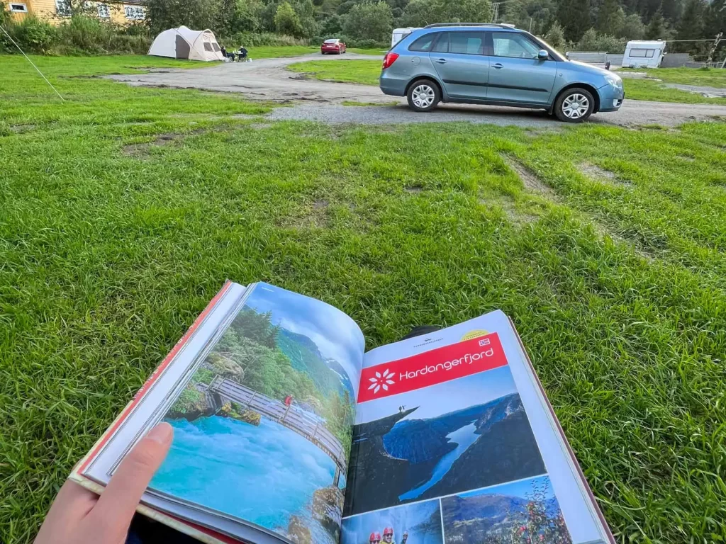
    Hardanger travel guide at Sundal Camping near the Bondhusvatnet trail
    I always keep a few backup plans in Hardanger — weather and road conditions can change fast, so flexibility helps a lot.

    Not sure which hikes are actually worth your time?
    I offer 1:1 consultations to help you choose hikes that suit your fitness level and travel style, build a realistic route, and avoid wasting time on unnecessary detours or overpacked itineraries.

    Book a consultation here

    FAQ: Bondhusvatnet Hike in Norway

    How long is the Bondhusvatnet hike?

    The classic walk from Bondhusdalen parking to Bondhusvatnet lake is approximately 4.6 km (2.9 mi) round trip and takes around 2 hours at a relaxed pace.

    No. The main route to Bondhusvatnet is an easy walk following a broad gravel road.

    Yes. Bondhusvatnet is one of the easiest nature walks in Hardanger for families.

    Yes. The gravel road from the parking area to Bondhusvatnet is suitable for strollers. A stroller with larger wheels will be more comfortable on the gravel surface.

    Partially. UT.no describes the gravel road as suitable for a powered wheelchair, although some slopes require a strong motor. There are also several gates along the route, meaning assistance is recommended.

    No. Swimming is prohibited because Bondhusvatnet is used as a drinking-water source for the local communities of Bondhus and Sundal.

    Camping is prohibited within 50 metres of the lake because Bondhusvatnet is a drinking-water source. If camping elsewhere in the valley, also consider rockfall, steep slopes and other natural hazards before choosing a spot.

    No. The glacier has retreated considerably, and the surrounding landscape is affected by icefall, rockfall and changing watercourses. If you want to walk on Folgefonna, join an organised glacier hike with qualified guides instead.

    Jana Scambura, outdoor guide and founder of Nordic Unseen in Norway

    Hi, I’m Jana — outdoor guide, writer, and long-time local in Norway. I share trail-tested tips and local insight for exploring lesser-known parts of the Nordics.
    If you’re after more mountains, fewer crowds, and honest advice, you’re in the right place.

    Hiker standing on Trolltunga rock above Ringedalsvatnet lake during the Trolltunga hike in Norway.

    Trolltunga Hike Guide: Everything You Need to Know (from a Local)

    A practical local guide to the Trolltunga hike in Norway, including difficulty, parking, shuttle buses, camping — and whether it is actually worth it.
    Read More →
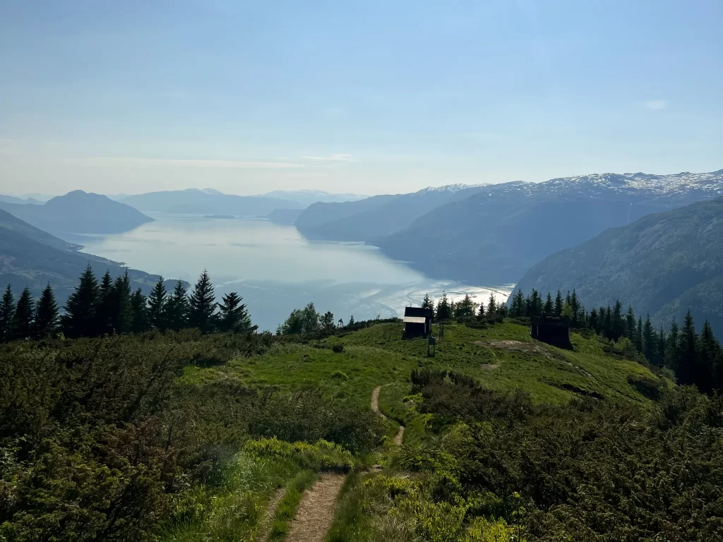
    View over Hardangerfjord from the summit of Oksen hike in Western Norway

    Oksen Hike: The Hardangerfjord Trail Locals Would Recommend

    Complete guide to the Oksen hike (1241 m) with panoramic views over Hardanger. Includes map, parking, trail details, tips and best season.
    Read More →
    Woman standing above Lustrafjord on the Molden hike, overlooking the fjord on a sunny day

    Molden Hike: Best Fjord Viewpoint Over Lustrafjord

    Complete guide to the Molden hike (1116 m) with 360° views over Lustrafjord & Sognefjord. Includes routes, map, parking, tips & best season.
    Read More →
    Shopping Cart